
01 ✎
Make your mark.
Start with a map. Add labels, arrows, places, access points and notes. Keep the details that matter to your people.
Your place. Your practical knowledge.A LITTLE CLARITY GOES A LONG WAY
The right entrance. The new meeting point. The place to unload. Put what matters on a map, and give everyone the same picture.
LESS EXPLAINING. MORE UNDERSTANDING.
A text message can explain it. A phone call can repeat it. A marked-up map lets people see it.
WayTogether turns local knowledge into a shared picture: what’s here, where to go, and what to pay attention to.
Start with a map. Add labels, arrows, places, access points and notes. Keep the details that matter to your people.
Your place. Your practical knowledge.Text it to a crew. Put a QR code on a sign or an invitation. Guests open the published map in their browser.
No guest account. No app required.Review changes, then publish deliberately. The same link opens the latest published version when connected.
One place to update the plan.A MAP IS ONLY THE BEGINNING
Try a few ways to bring people together.
These are fictional, interactive examples.
Use the south gate. Check in before entering the work area.
Give the delivery driver a clear entrance, the crew a place to stage, and everyone a reminder about the lane they shouldn’t use.
The unloading area moved. See how a published update changes the shared picture.
Demo only — nothing is saved or published.
OPEN IT. MOVE AROUND. GET THE PICTURE.
Try the actual WayTogether map controls. Pan, zoom, choose a place, open the legend and preview a change. No account needed.
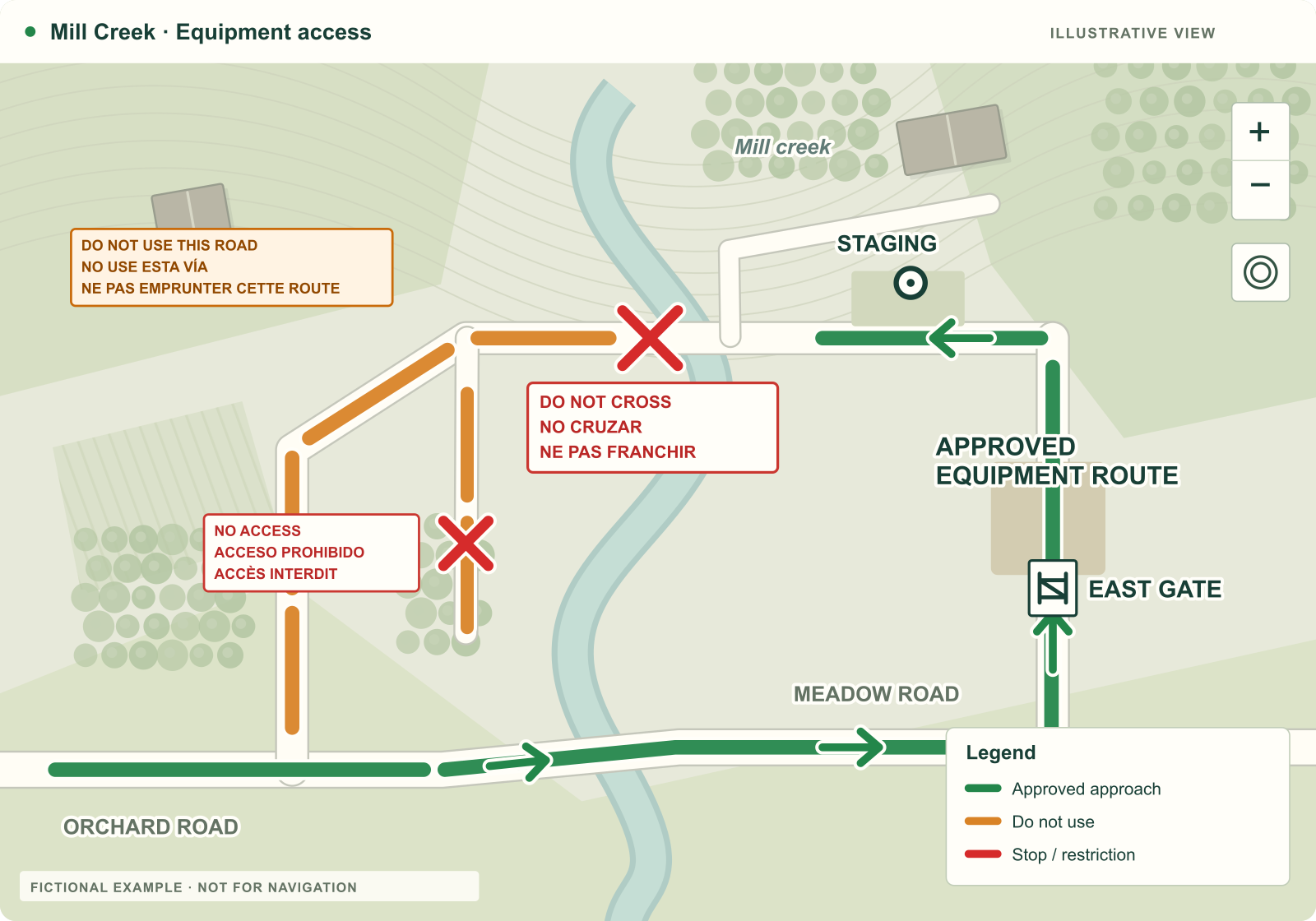 EQUIPMENT ACCESS
The entrance to use. The crossing to avoid. The work area everyone needs to recognize.
Explore the map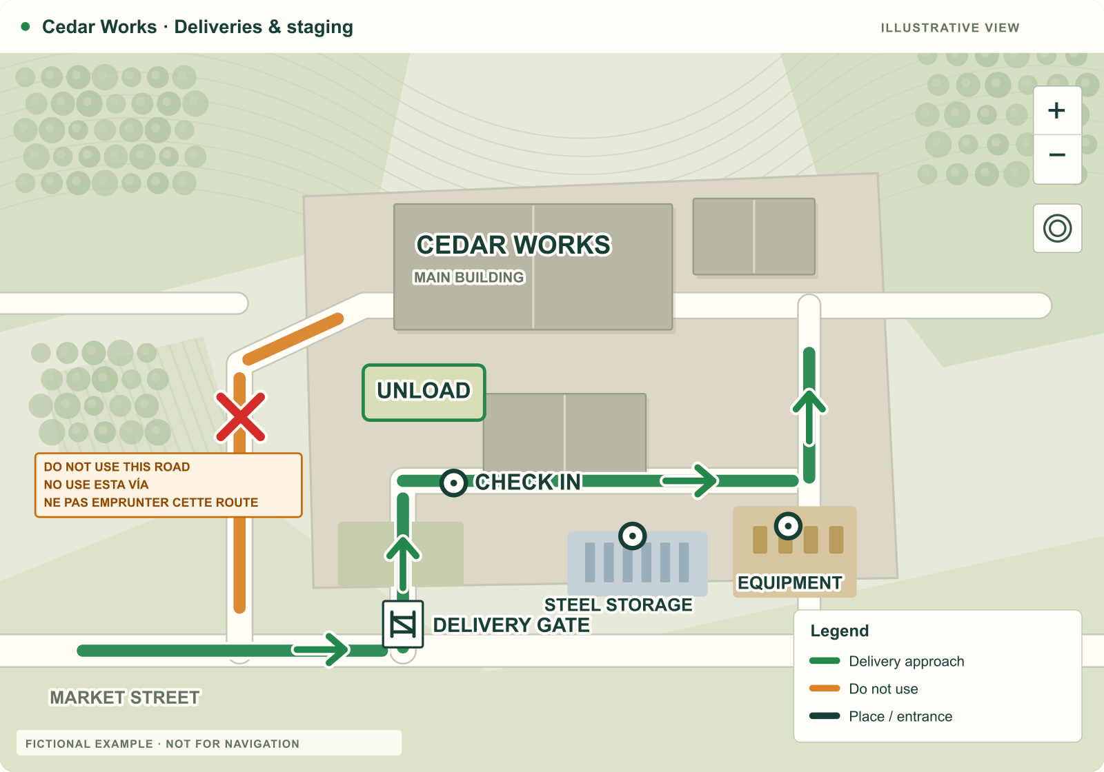 CONSTRUCTION STAGING
Give a new driver the useful details the regular crew already knows.
Explore the map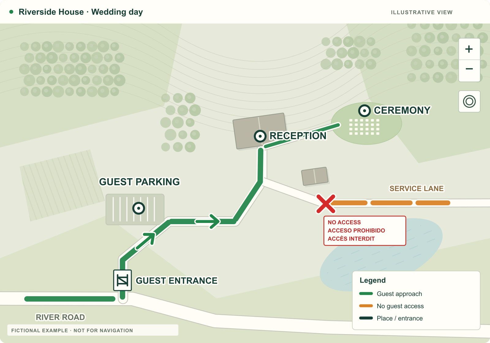 WEDDINGS & VENUES
From the welcome gate to the last dance. Let guests see the plan before they arrive.
Explore the map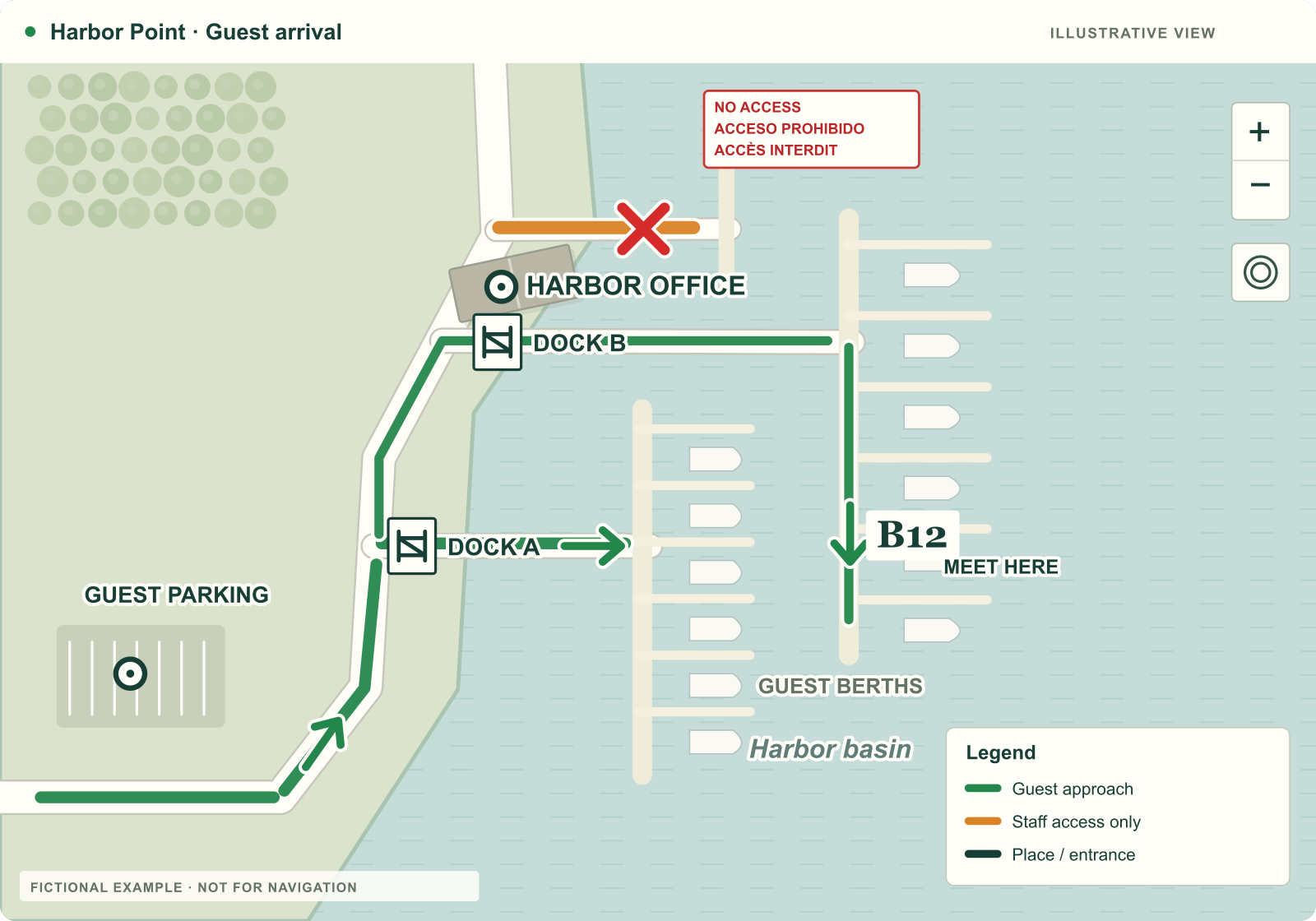 MARINAS & ARRIVALS
Guest parking, the harbor office and a berth to meet at. Help a first-time visitor feel at home.
Explore the mapFour fictional places, real app controls. Each demonstration uses an original illustrated background. The signed-in app uses geographic basemaps.
SEE WHAT A SHARED MAP CAN SAY
Browse the illustrated collection: wedding arrivals, work sites, equipment access and marinas.
THE RIGHT TOOLS FOR THE RIGHT PEOPLE
The person making the map needs more controls than the person opening it. That’s the point.
ADMINISTRATOR
Organize projects and maps. Build from templates, review field input, and choose exactly what goes into the published view.
APPROVED WORKER
Open assigned maps, point out a problem, and send drawings, notes and photos back for administrator review.
GUEST
Scan the code or tap the link. See the information the administrator has published, without another account to set up.
LOCAL KNOWLEDGE. A THOUSAND USES.
A staging area. A wedding on the farm. A new crew in an unfamiliar town. Start with the situation, then make the map your own.
WHY WAYTOGETHER EXISTS
WayTogether started with a simple field problem: people arriving at an unfamiliar job, missing an update, or choosing the wrong entrance. The person who knew the answer was often somewhere else.
The idea is simple, too. Give that person an easy way to mark what matters, and give everyone else a map they can open.
Practical knowledge. Clearly shared.
A FEW GOOD QUESTIONS
Guests don’t. A shared map opens in their web browser from a link or QR code. Administrators and approved workers sign in for their additional tools. Our installed iPhone and iPad app is currently in private testing.
The administrator reviews and publishes a new version. The shared link stays the same and loads the current published map when connected. A screenshot, downloaded copy, or disconnected device can still be out of date; always check the version and update status.
No. WayTogether is for shared orientation and visual communication. Markings are guidance from the map’s administrator, not surveyed boundaries, permission to enter land, utility locations, engineering drawings or turn-by-turn navigation. Review the map while stopped and follow the site’s current instructions.
No. Guests see a read-only published map. Approved workers can submit private observations for review. Administrators control what is published. Anyone who receives a guest link can potentially forward it, so confidential information belongs in private project work.
The pilot includes authorized saved map markings and field drafts for signed-in users, with update warnings. Complete offline basemap downloads are still being evaluated and are not available as a general feature. Guest links are intended for connected viewing.
WayTogether is in an early access pilot. Existing invited users can sign in now; new accounts are not open for self-service registration. Public plans and pricing have not been announced. Email Mike if you’d like to discuss a use case.
EVERYONE STARTS SOMEWHERE
Explore the idea. Try the examples.
Help shape a clearer way to work together.